Dickson to EPIC/Watson (i.e. farmer's markets)
April 2025
Overview
Distance: ~4.7km
- Start at Dickson Shops
- Follow the C6 Bike Path into Lyneham
- Turn right onto the C1 Bike Path heading north
- On Mouat St, turn right towards Northbourne Avenue
- Turn left onto the separated bike/foot path along this section of Northbourne Avenue
- Follow along bike path until the Northbourne Avenue/Barton Highway intersection
- Turn right, and follow along the bike path north.
- Either:
- Turn left onto Flemington Road, for the main entrance to EPIC (towards the Light Rail stop)
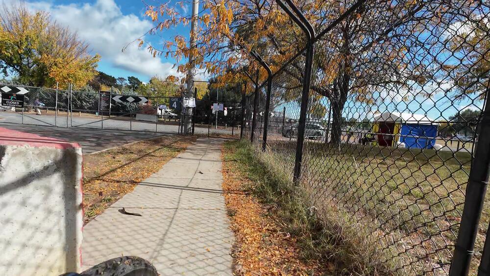
- Turn left at the Federal Highway/Stirling Avenue intersection, for the Gate 4 entrance to EPIC
1. Start
The route starts at Dickson Shops, at the zebra crossing on Challis St.
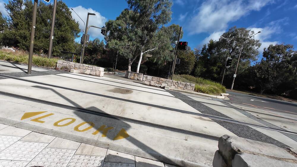
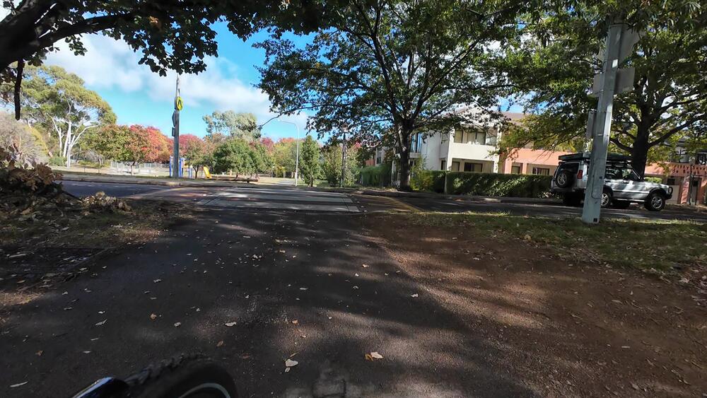
2. Cross the Zebra Crossing and Northbourne Avenue
Cross Challis St, until you get to Northbourne Avenue.
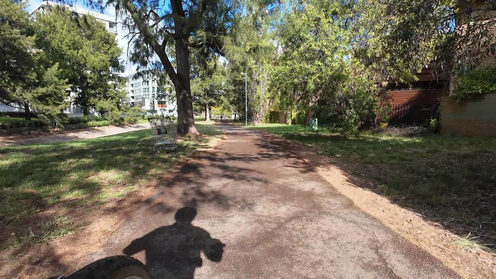
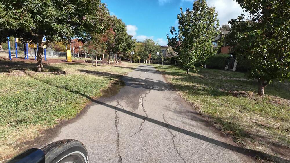
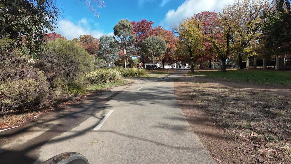
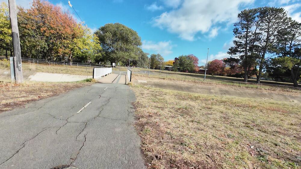
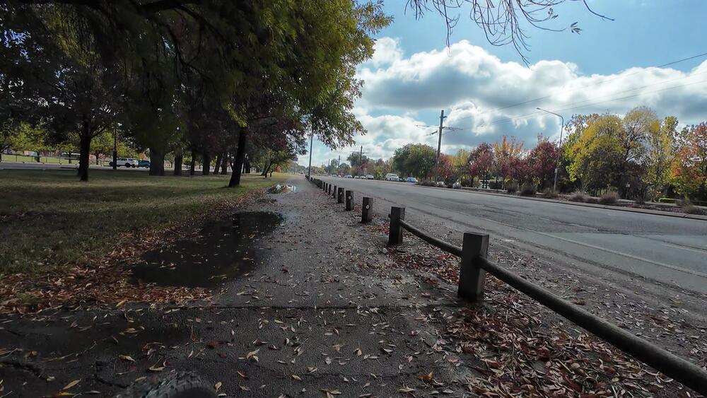
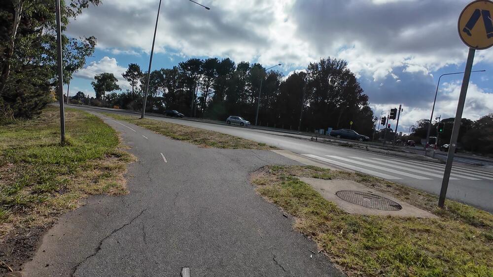
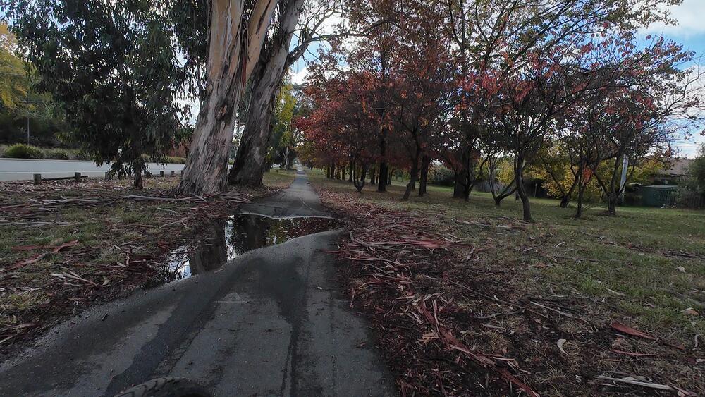
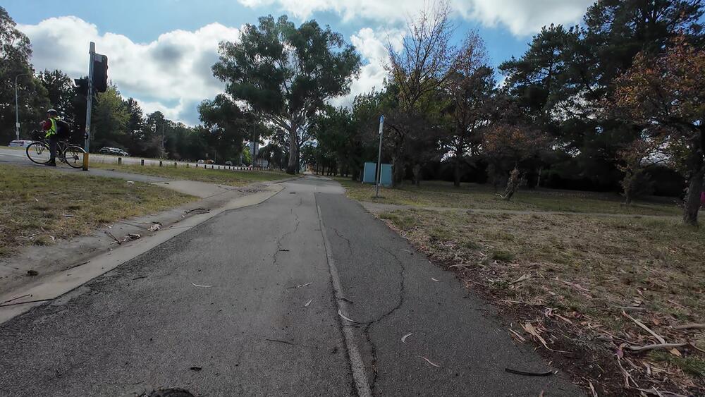
3. Follow along C6 through Lyneham
4. Turn right, veering off the C6 bike path
We veer off the C6 bike path (which continues south to the City), to head towards the C1 bike path
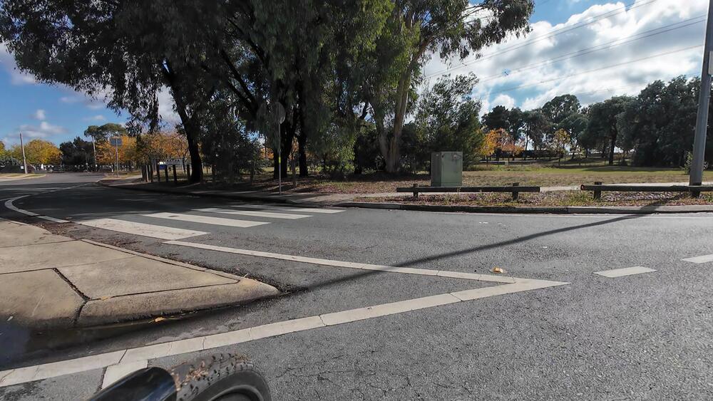
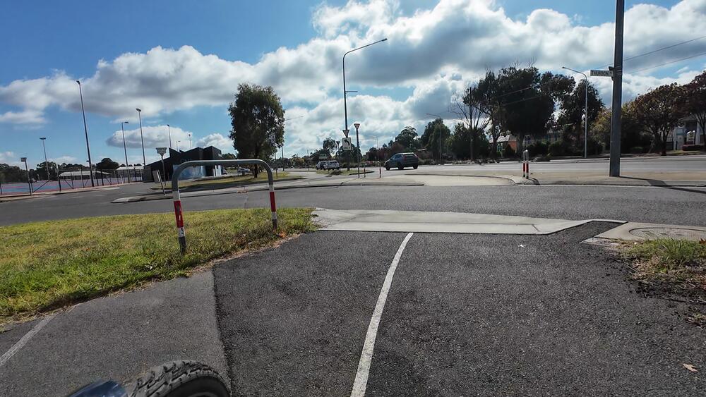
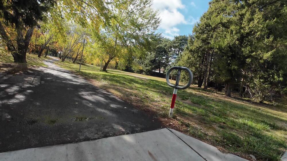
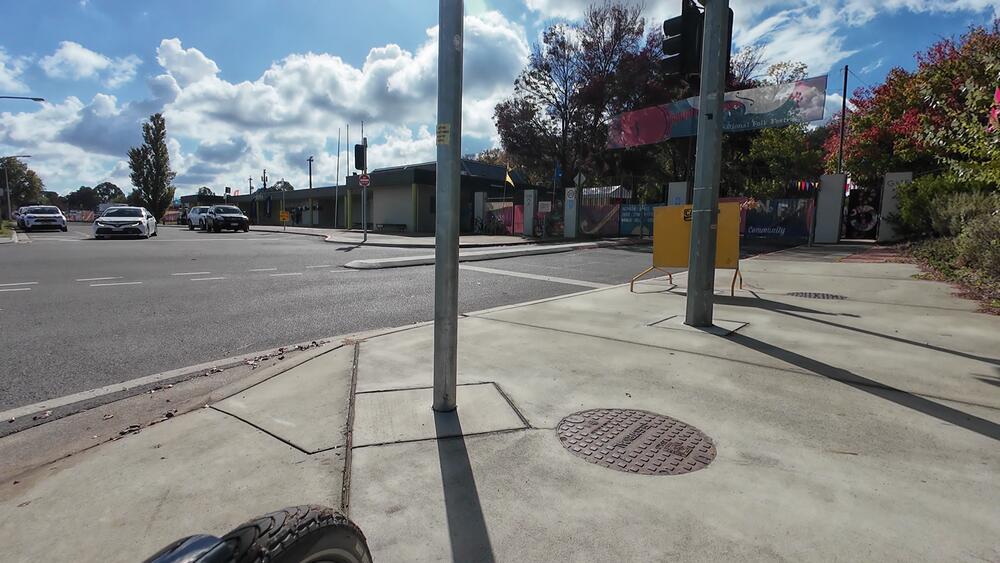
5. Continue straight past Lyneham High School
Cross the zebra crossing on Goodwin Street to head past Lyneham High School towards the C1 bike path
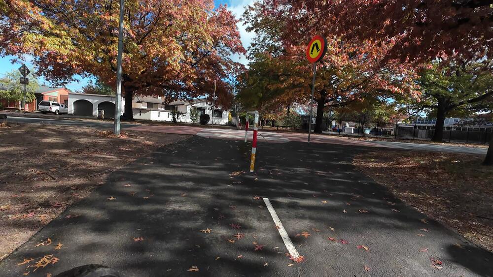
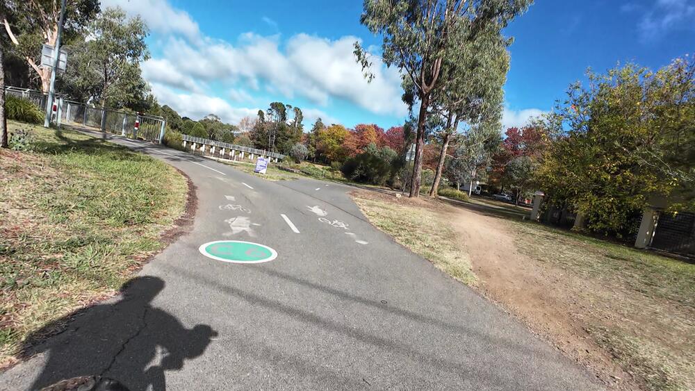
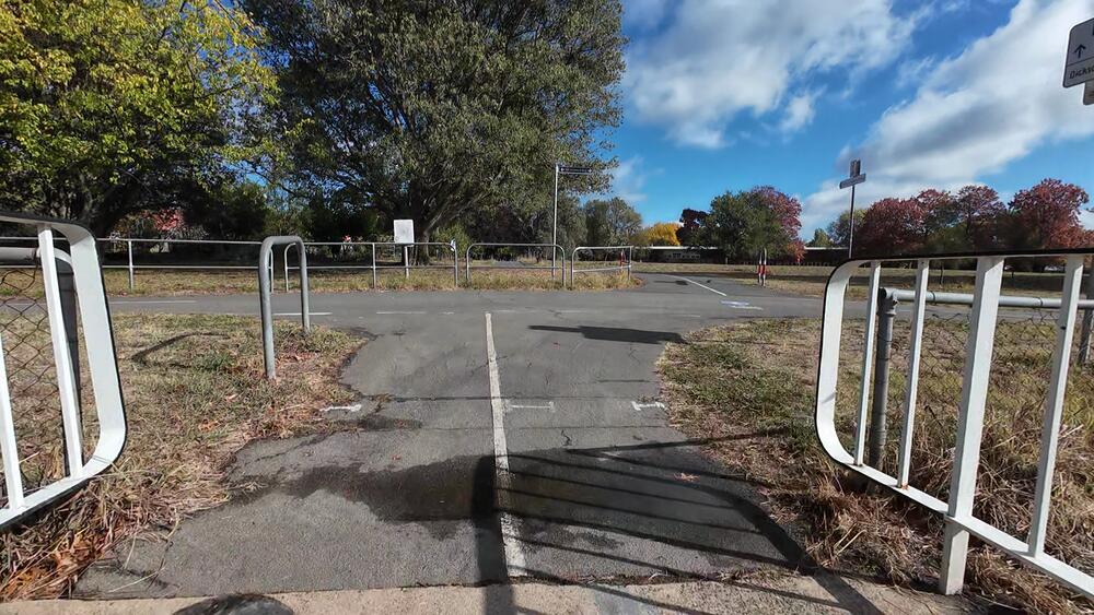
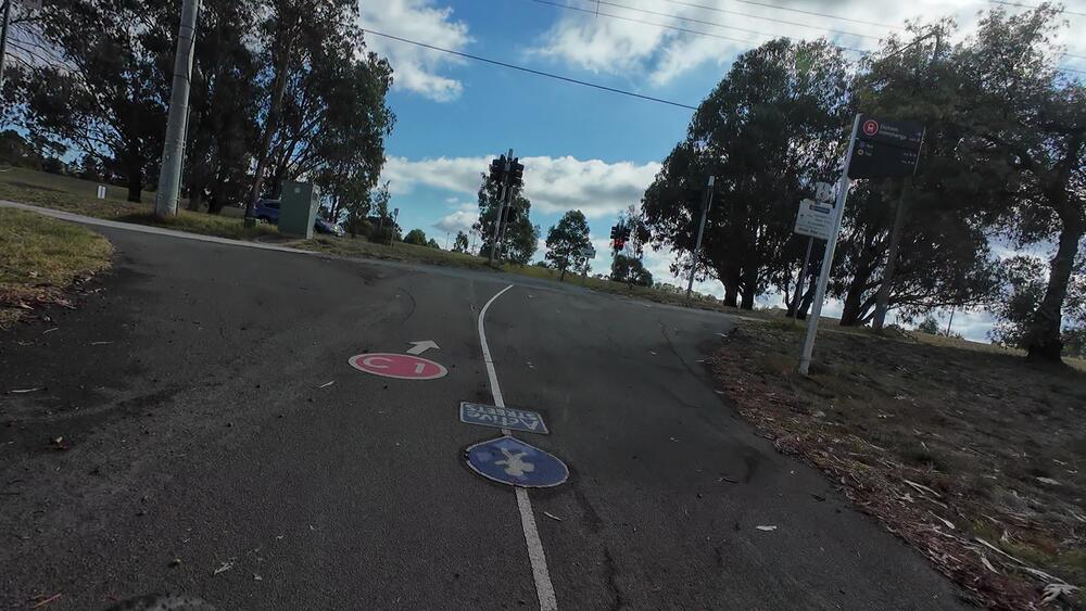
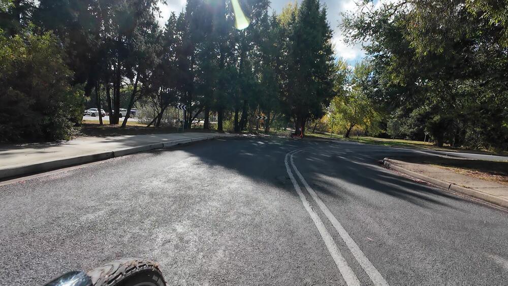
6. Cross the small bridge and turn right onto C1 Bike Path
The C1 Bike Path connects Gungahlin to the city. We will not continue on the C1 Bike Path for long, but it will take us north
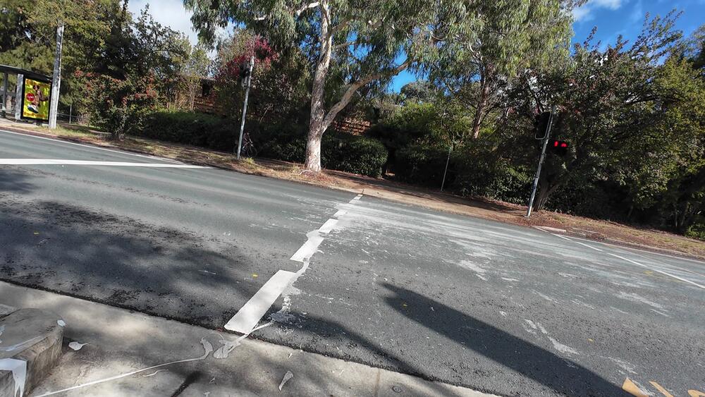
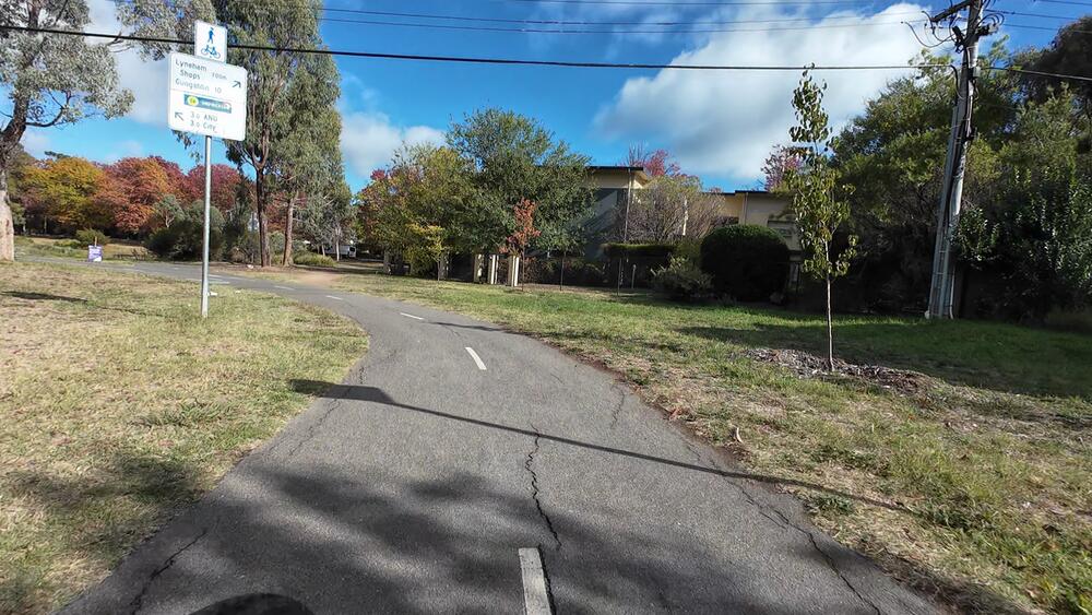
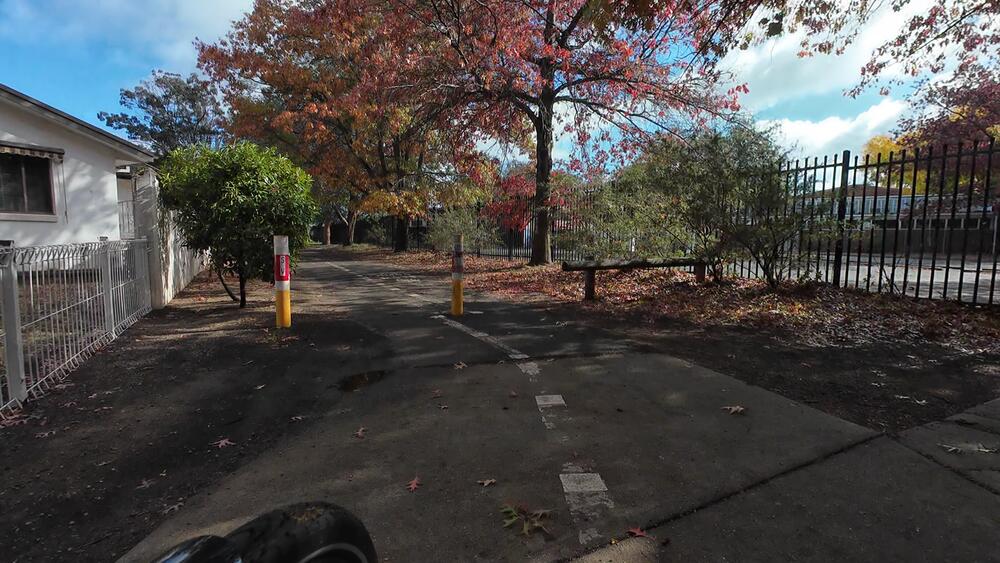
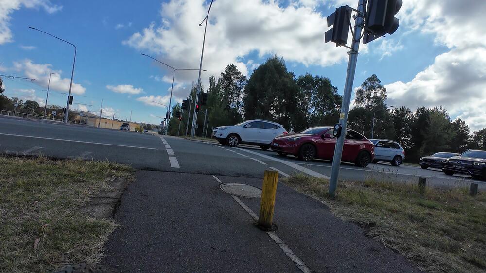
7. Cross Mouat St and turn right towards Northbourne Avenue
The C1 Bike Path connects Gungahlin to the city. We will not continue on the C1 Bike Path for long, but it will take us north
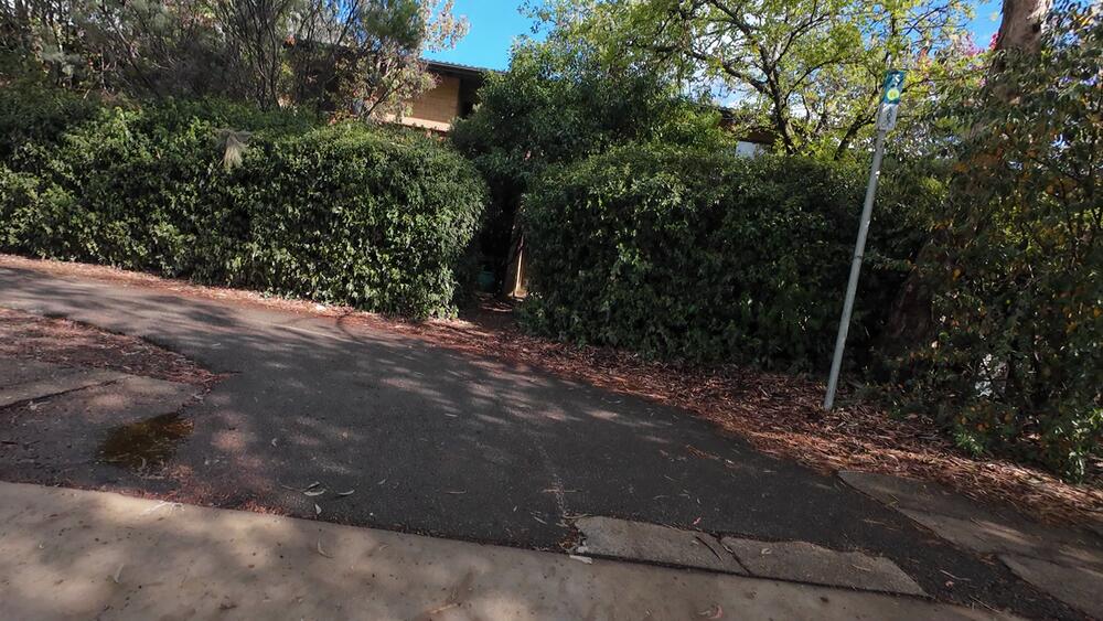
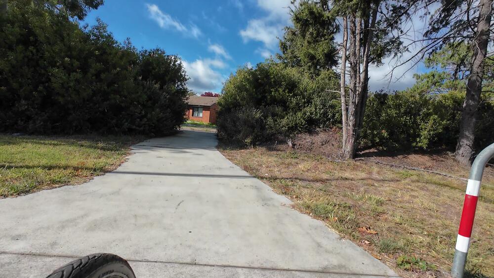
Alternate destination: Turn left to go to the Old Canberra Inn and North Lyneham instead
Instead of crossing the road, you can turn left and ride along the path/wide footpath to get to the Old Canberra Inn.
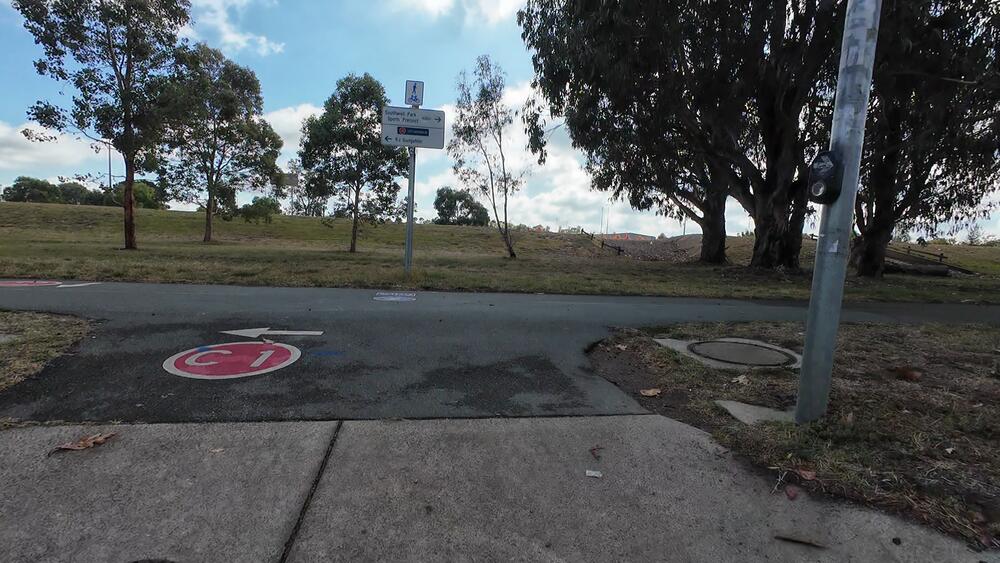
Alternate destination: Turn left and go to Gungahlin or Belconnen instead
You can turn left here instead. If you follow C1, you will end up in Gungahlin. If you cross onto the other side of Ginninderra Drive when you see University of Canberra signage, you can instead continue onto Ginninderra Lake, Belconnen (bike path C3b) or Kaleen
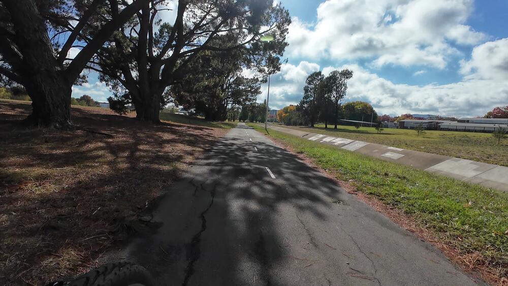
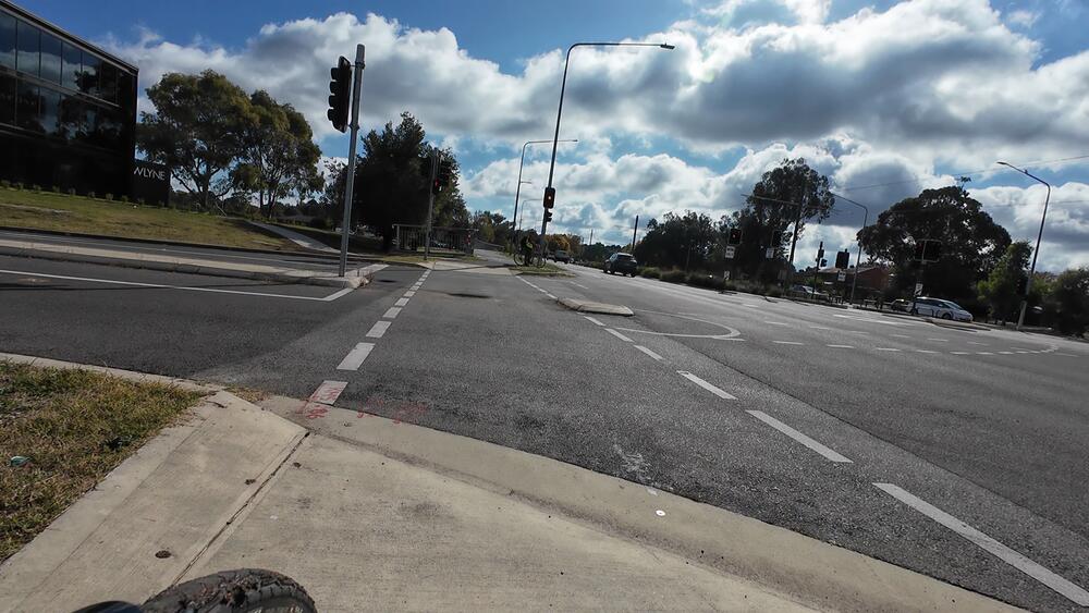
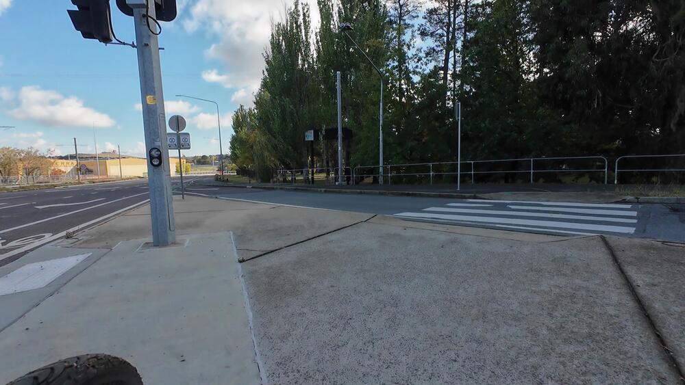
8. Turn left at Northbourne Avenue/Mouat St intersection (remaining on bike path)
For this section heading north, there is a bike path separated from the road
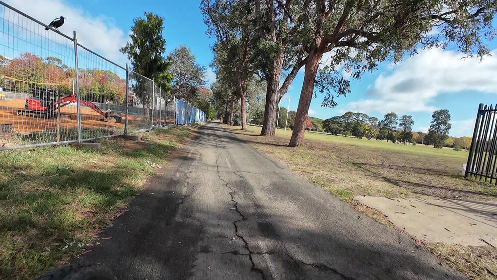
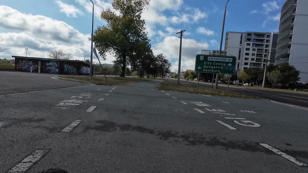
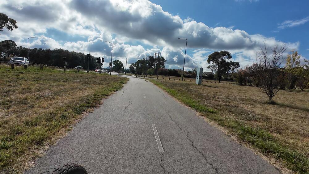
9. Continue North up Northbourne
We will head straight until we get to the Barton Highway intersection

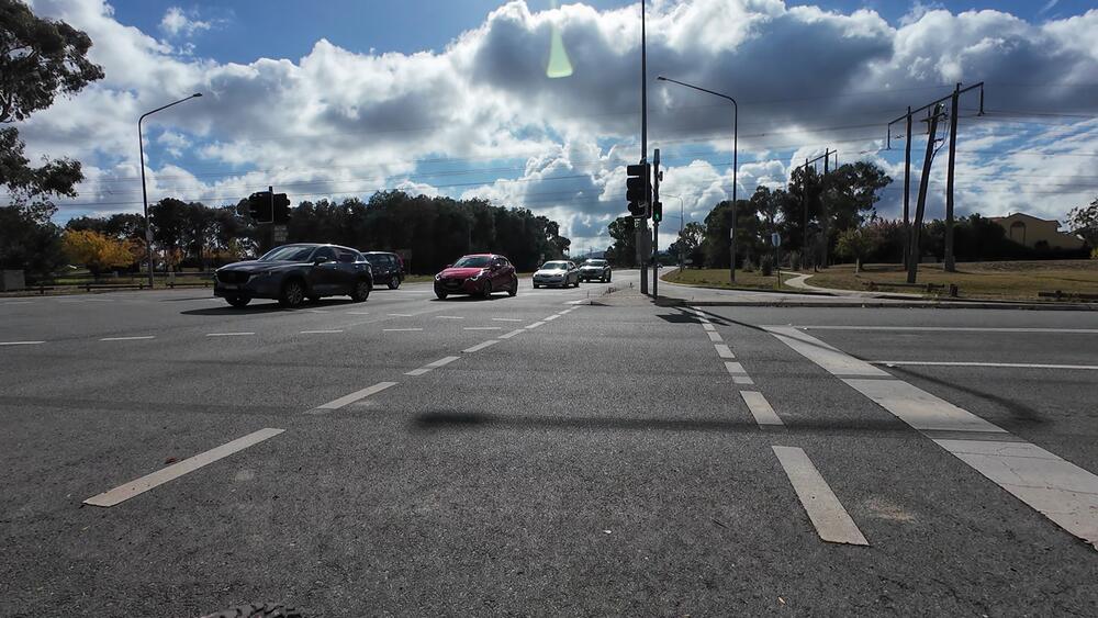
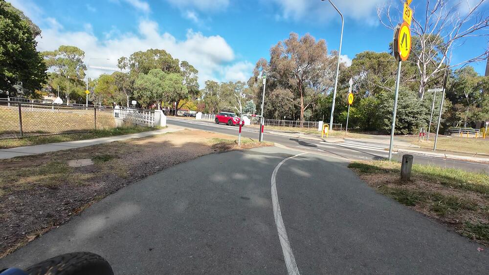
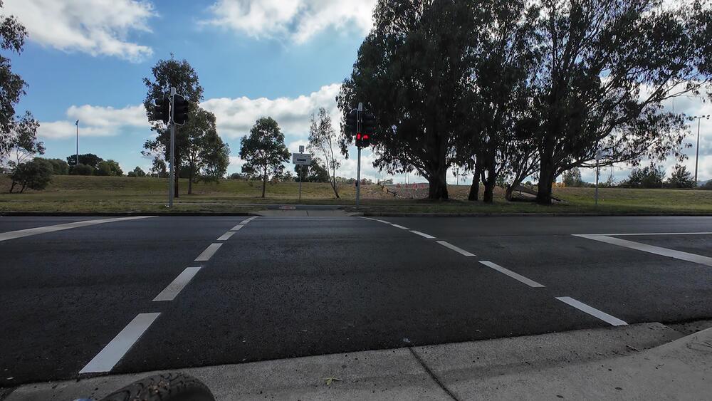
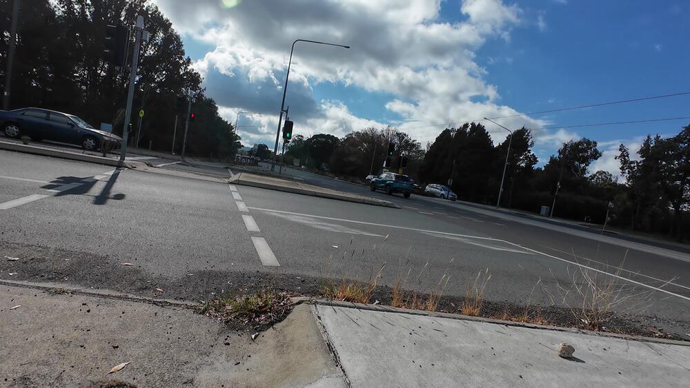
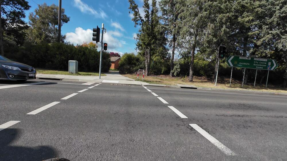
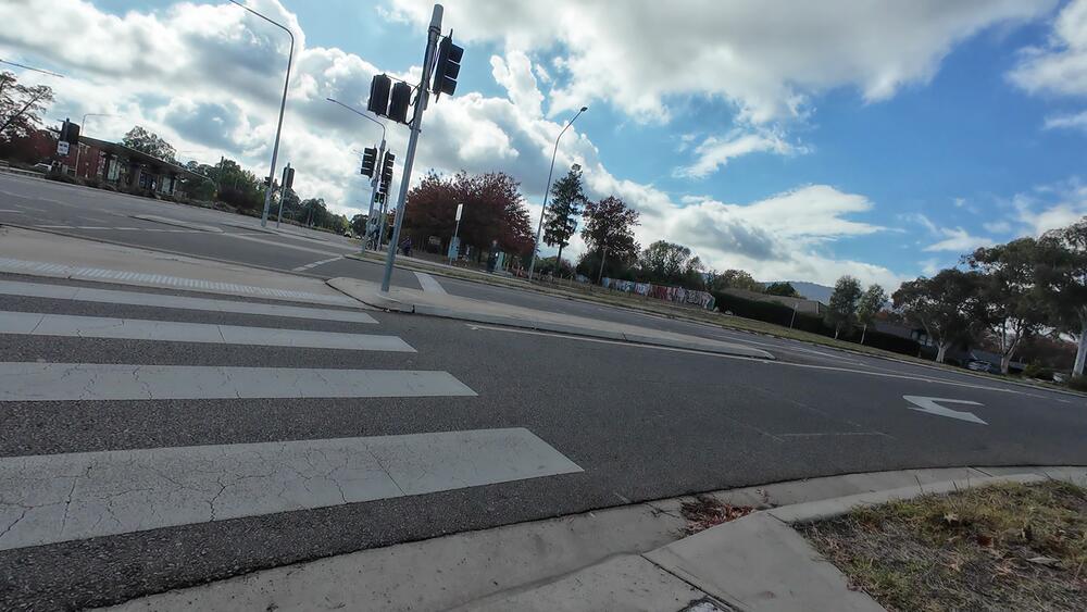
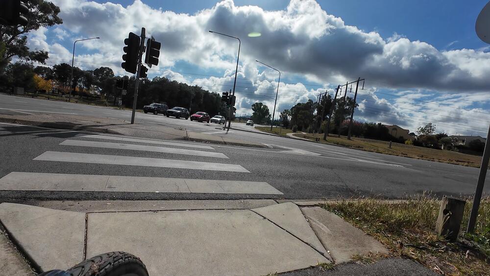
10. At the Barton Highway/Northbourne intersection, cross onto the other side of Northbourne Avenue
This is the point where Northbourne Avenue becomes the Federal Highway
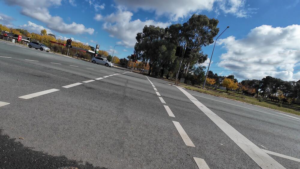
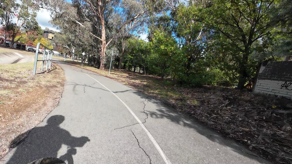
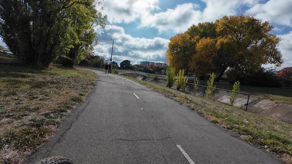
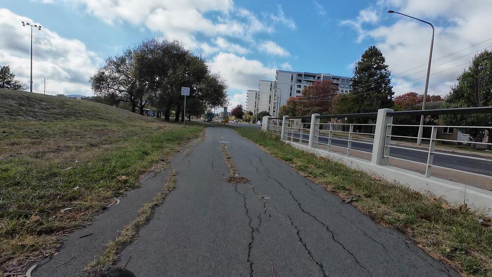
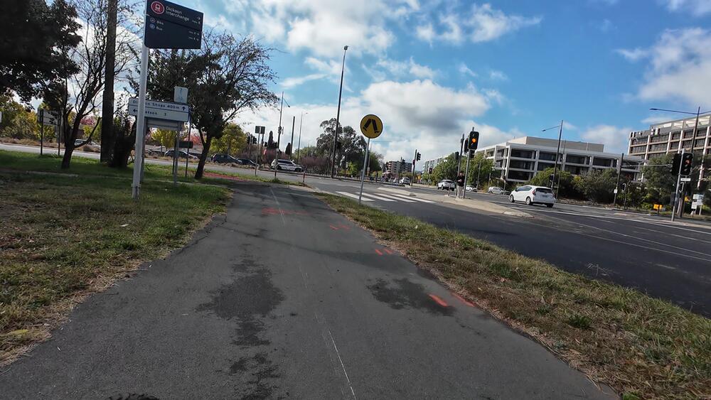
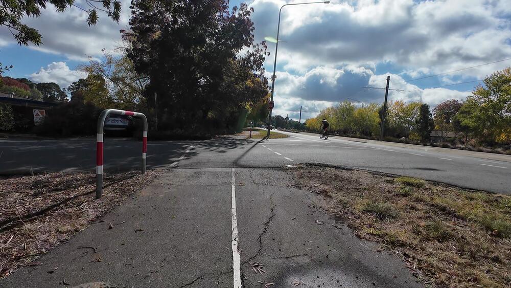
11. Continue straight, onto Panton Street to get back to separated bike paths
Continue straight, following the white footpath. Turn left onto Panton Street, and you will spot the resumption of the bike path
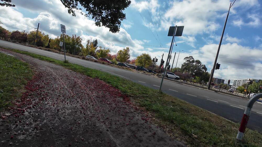
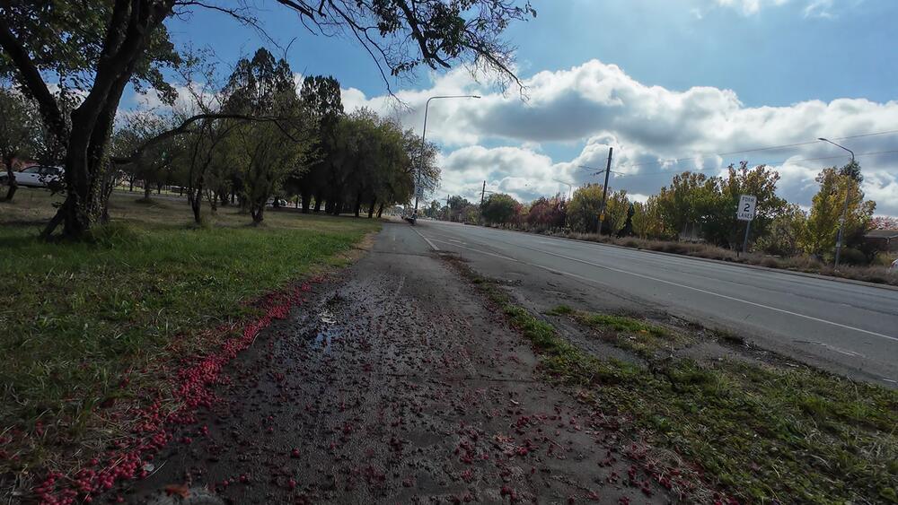
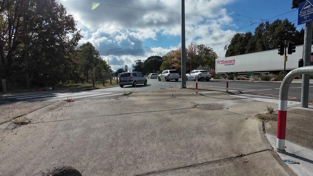
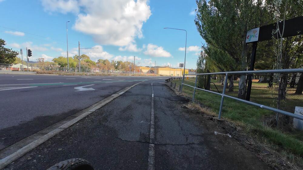
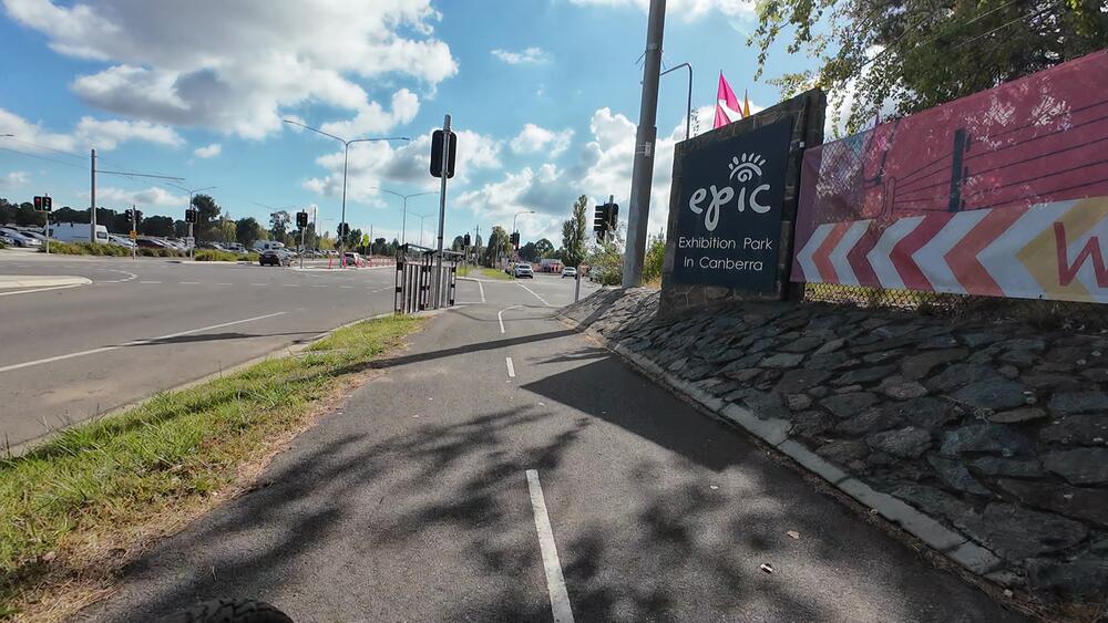
12. Continue straight until you get to the Federal Highway/Stirling Avenue intersection
Just follow the bike path until you get to EPIC now
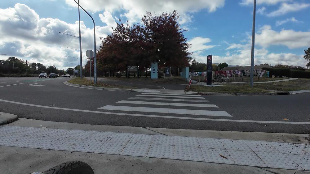
Alternate destination: Turn right and go to the Watson Shops instead
If you turn right onto Phillip Avenue, you can head into Watson
Alternate route - Main entrance to EPIC: Turn left at Flemington Road/Federal Highway intersection
The preferred entrance might vary depending on the event. You can also turn left at Flemington Road. However, despite this being the entrance closest to the light rail stop, sometimes the pedestrian entry is closed (and a security guard may turn you away). It's very odd, not consistent, and appears that pedestrian/cycling/public transport to EPIC isn't considered the default option. For this reason, I usually go to Gate 4 at the back instead, which is closer to the actual farmer's market in any case.
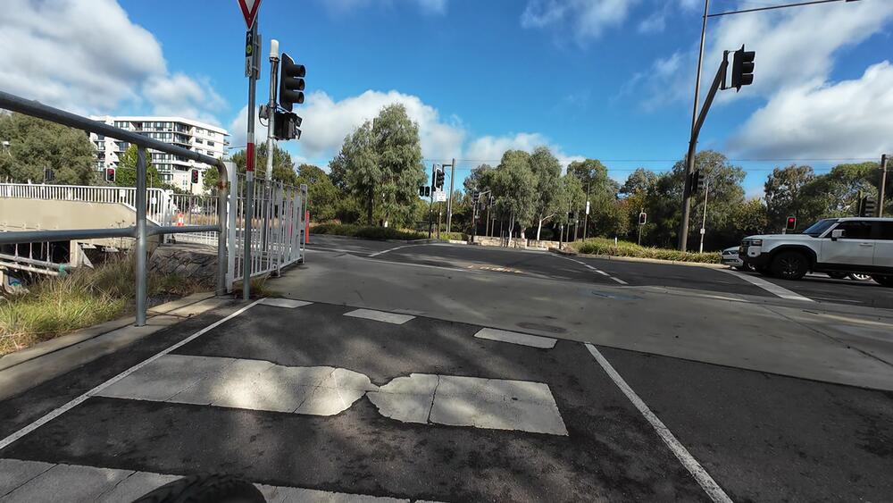
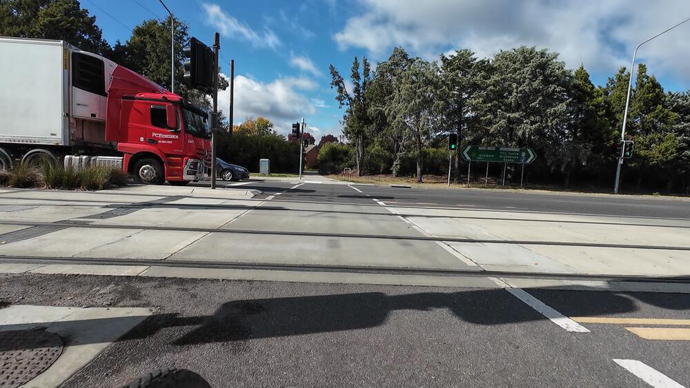
12. Cross the Federal Highway to get to EPIC
The petrol station is at this intersection